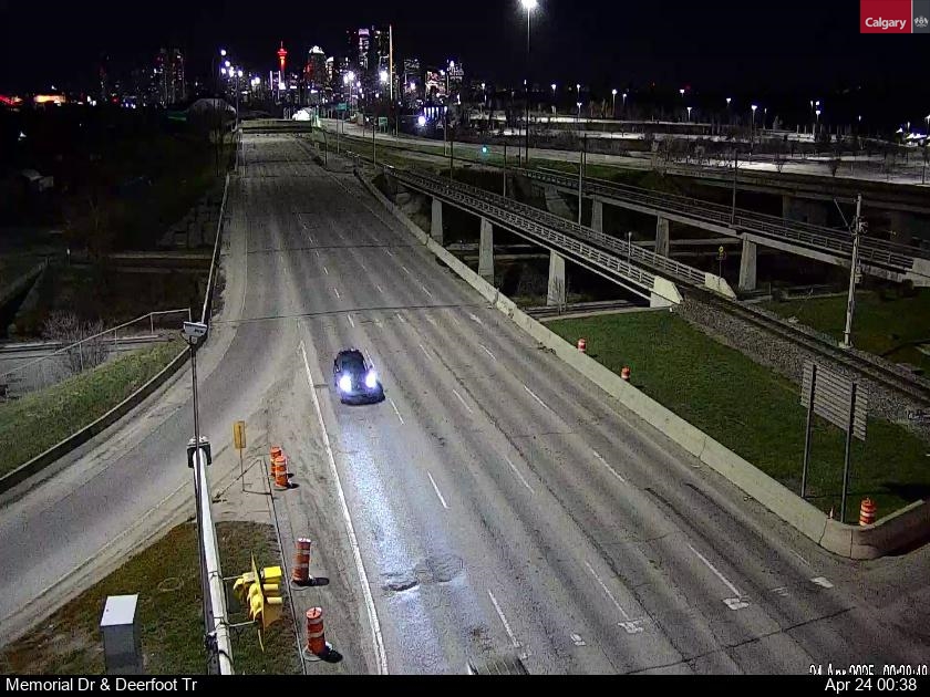
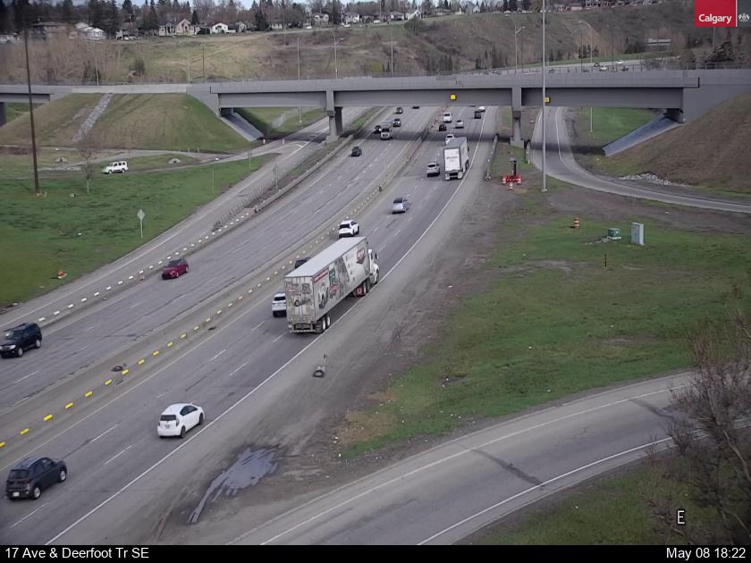
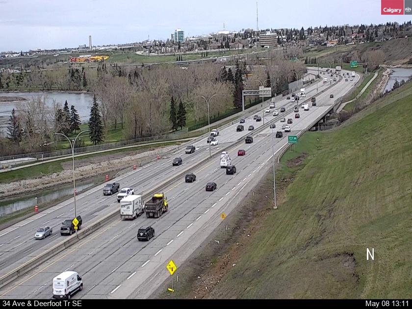
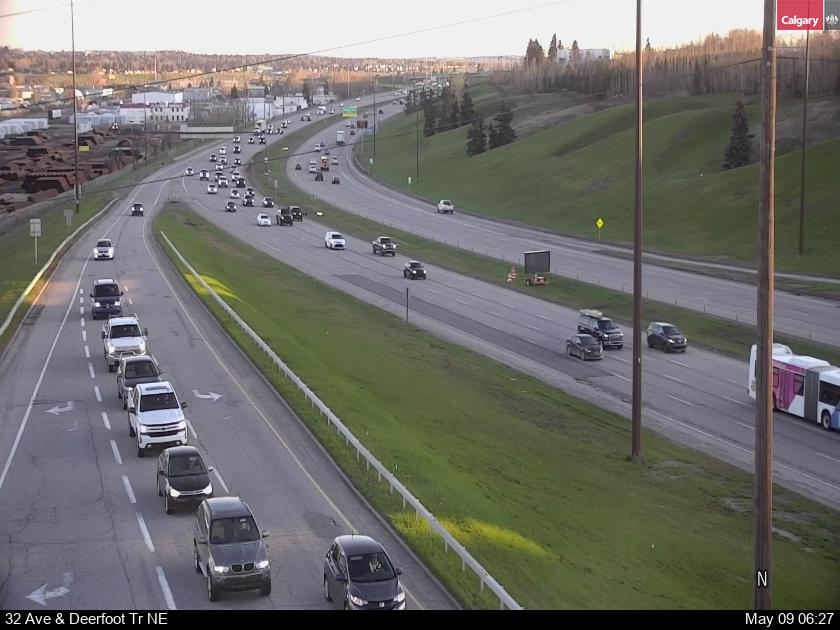
DEERFOOT TRAIL TRAFFIC CAMERAS CALGARY
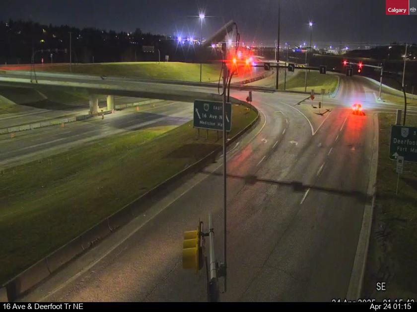
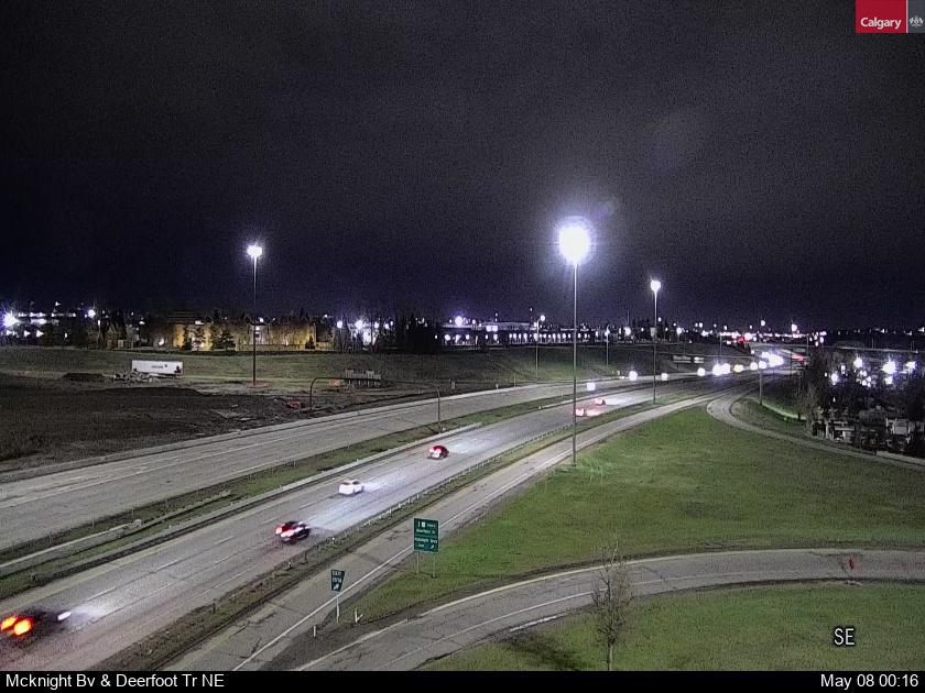
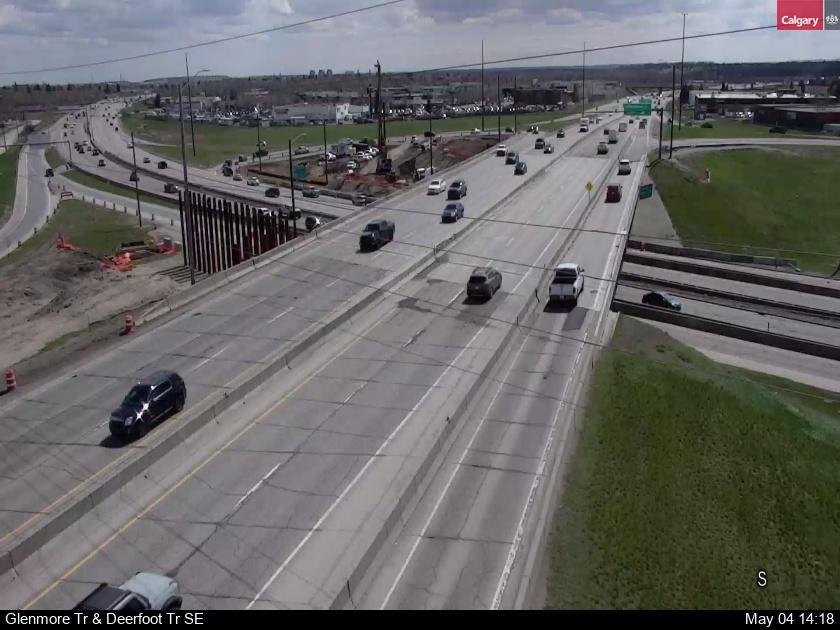
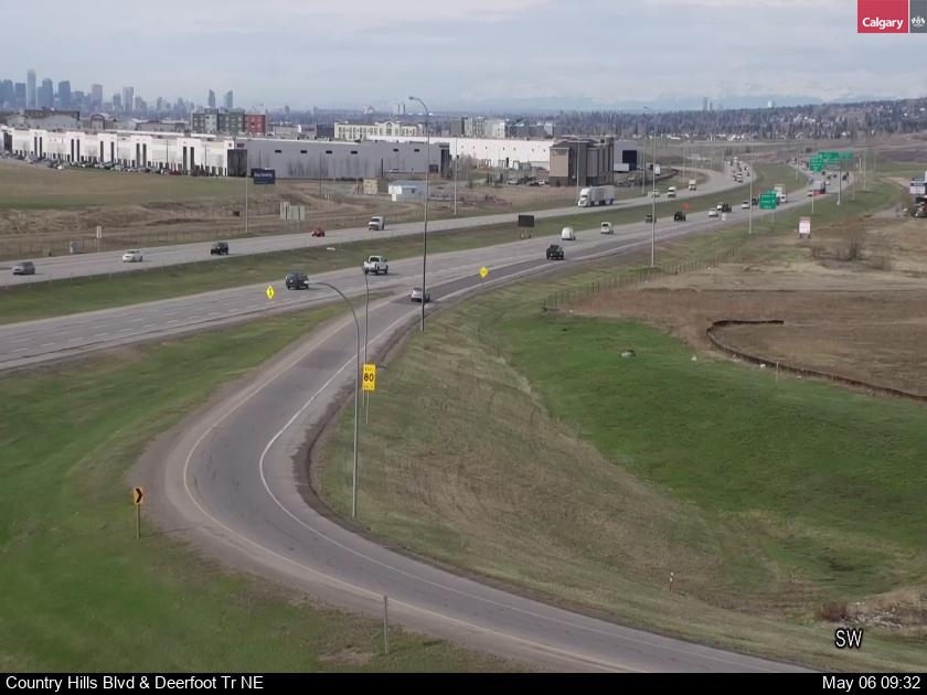
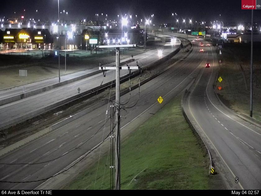
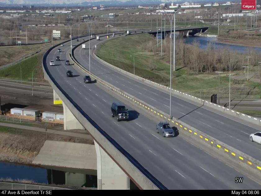
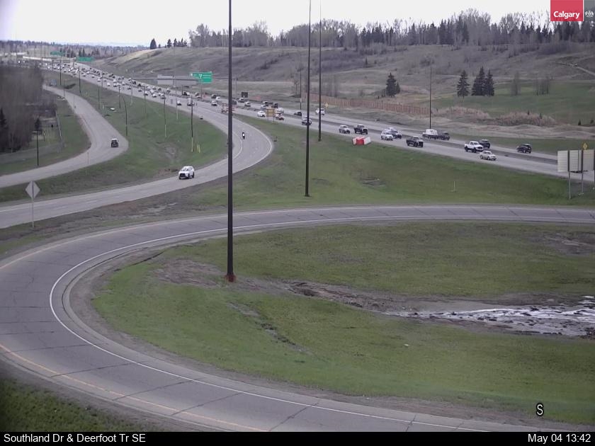
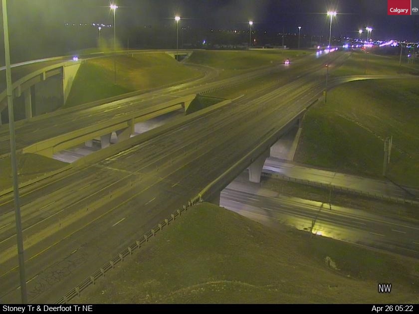
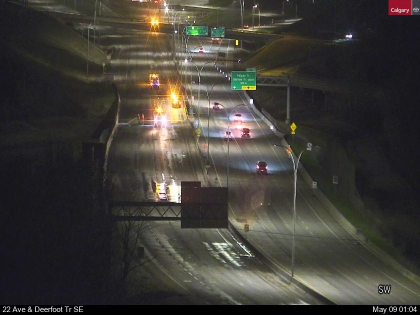
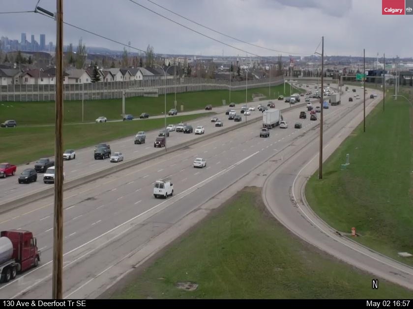
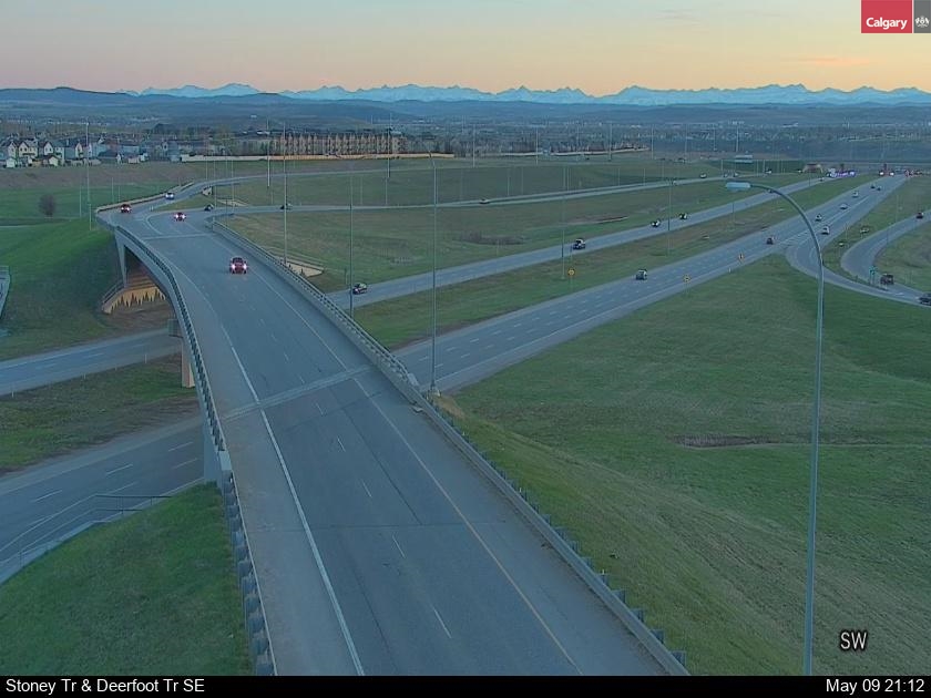
The City of Calgary traffic monitoring camera images for the latest traffic conditions at major Calgary driving routes such as Glenmore Trail, Bow Trail, Deerfoot Trail, Glenmore Trail, Macleod Trail and Memorial Drive, Stoney Trail and other key intersections in SW., SE., NE and NW. Calgary.. REFRESH THE PAGE TO RENEW THE IMAGE "F5"
CALGARY TRAFFIC CAMERAS
CALGARY & ALBERTA ROAD CONDITIONS
DEERFOOT TRAIL TRAFFIC CAMERAS
Deerfoot Trail is a 46.4-kilometre (28.8 mi) freeway segment of Highway 2 in Calgary, Alberta, Canada. It stretches the entire length of the city from south to north and links suburbs to downtown via Memorial Drive and 17 Avenue SE.
